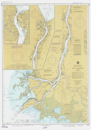
We take great care to ensure that the best materials, packaging, and service are part of every order. OUR PRINTING PROCESS (printers, inks & paper)Our nautical charts and maps are printed on high-end professional equipment using art-quality archival inks and paper. The paper used for 18”x18” prints and larger is an acid-free 32lb bond with a smooth matte, non-glare finish. Prints 13”x19” and smaller are printed on sturdy acid-free card stock with a matte finish.The inks used in the process are professional grade to provide rich and authentic color and are acid-free to ensure that the prints will not fade over time.The size of each print refers to the actual size of the paper on which they are printed, leaving a .25” white border around the image. The prints fit nicely inside standard-sized frames of the same dimension. DIGITAL RESTORATIONAll maps are meticulously digitally restored to provide you with a clean, clear, and beautiful map that honors its period of origin. In this process, imperfections are removed. (Including creases, smudges, tears, discoloration caused by age, non-original stamps, etc.) The result is a gorgeous map reproduction true to its historical vintage.